Airports!
RDFIG pointed me at some Airport data, this let me turn it into RDF and then plot routes in SVG, e.g. my proposed Cricket World Cup Flights or all the flights I could remember I’ve done recently.
I also plotted a map of all the airports in the USA, but that took 40minutes on a P4, so not too useful, but I created a PNG of US airports of it.
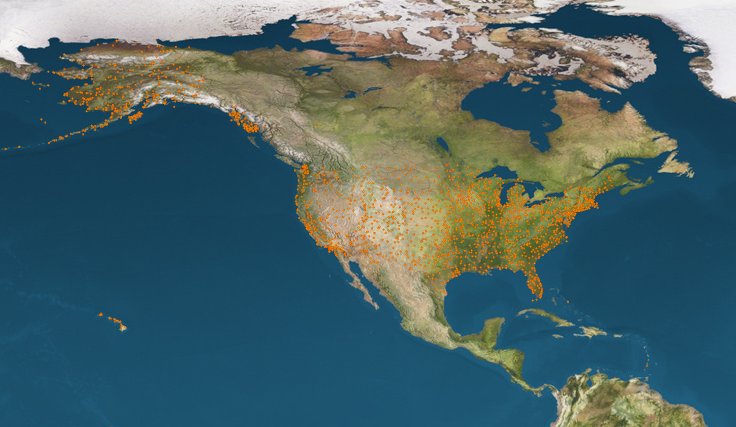